The Road to Lofoten is Paved with Postcards
Trip Index:
Getting There in Austrian Business Class
Seeing the Aurora Borealis (Northern Lights)
The Road to Lofoten is Paved with Postcards
On the Way to Rorbu #15 in Lofoten
Spending the Night in a Traditional Rorbu
Exploring the Picturesque Lofoten Islands
A Night in a Traditional Rorbuer
Radisson Blu Polar Hotel (only 800 miles from the North Pole!)
Longyearbyen – the World’s Northernmost City
Crossing the Isfjord in a Boat
Barentsburg Mining Town
Face to Face with Esmark Glacier
There exists an idyllic place with grassy wide-open expanses, snow-capped peaks and lakes where the water is still clean and clear. Craggy cliffs and pristine swaths of coastline stretch as far as the eye can see, and the unspoilt nature is quietly humble yet staggering in its beauty.
Synonymous with great cod fisheries for hundreds of years, the history of the Lofoten Islands in northern Norway goes far, far back. It marks the very spot where the first town was created in Norway and ventures back even further to when people settled down there a very long time ago, in 250 BC. One of the terms used in Norway is Lofotveggen, meaning Lofoten wall, because when viewed from the sea it appears to be a closed wall, keeping its inhabitants tucked safely within.
I’d seen photos of the archipelago of Lofoten that left me in awe, and though I chalked up the perfect-looking photos to the prowess of proper photographers I was still looking forward to seeing it with my own eyes. I was setting out on a road trip with my husband and mother-in-law to see the Lofoten Islands firsthand.

Rising just after dawn, we drove from Harstad until we reached a good stopping point for breakfast – Tjeldsundbrua.
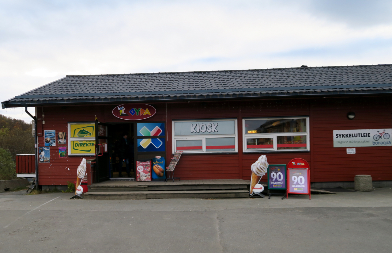
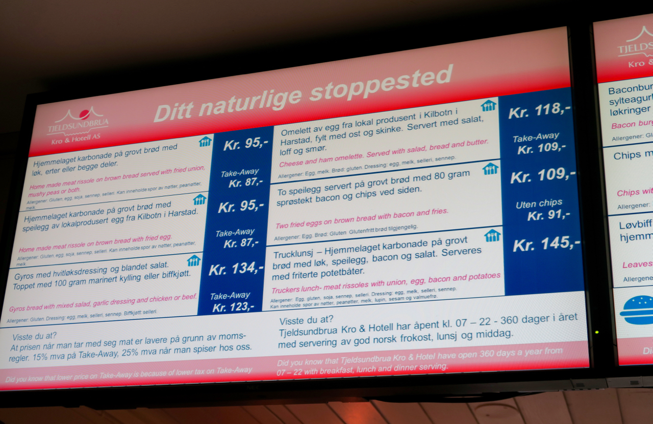
The smart restaurant choice was confirmed when I saw an item on the menu called the “Trucker’s lunch”.
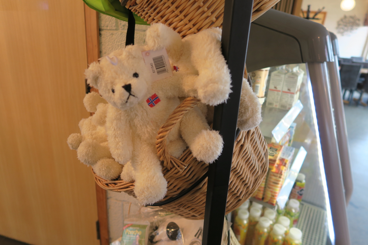
Tap water was free and fresh, something you might have seen in the US years ago but sadly not as often today. After ordering I was given a buzzer and waited my turn, and there were some touristy items that held my attention until the order was ready.
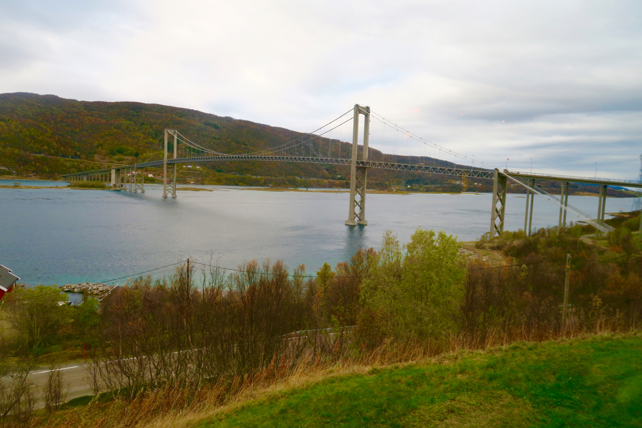
A window seat offered us prime view of the Tjeldsund Bridge while sipping coffee.
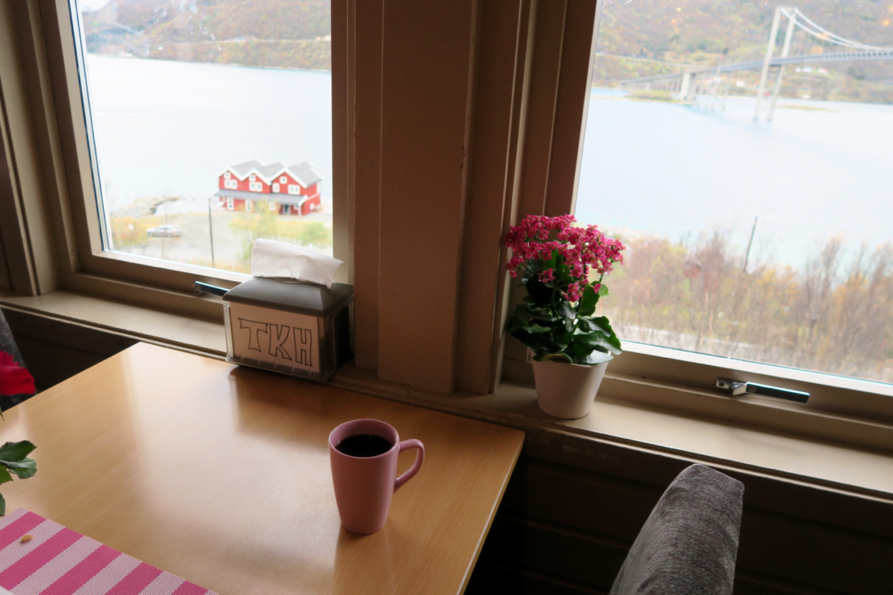
In the late 1960’s there was a ferry that used to run between the two sides, but then as traffic increased a bridge was constructed in its place. I studied the bridge and didn’t find it too difficult to picture a jolly little ferry going back and forth across the water.
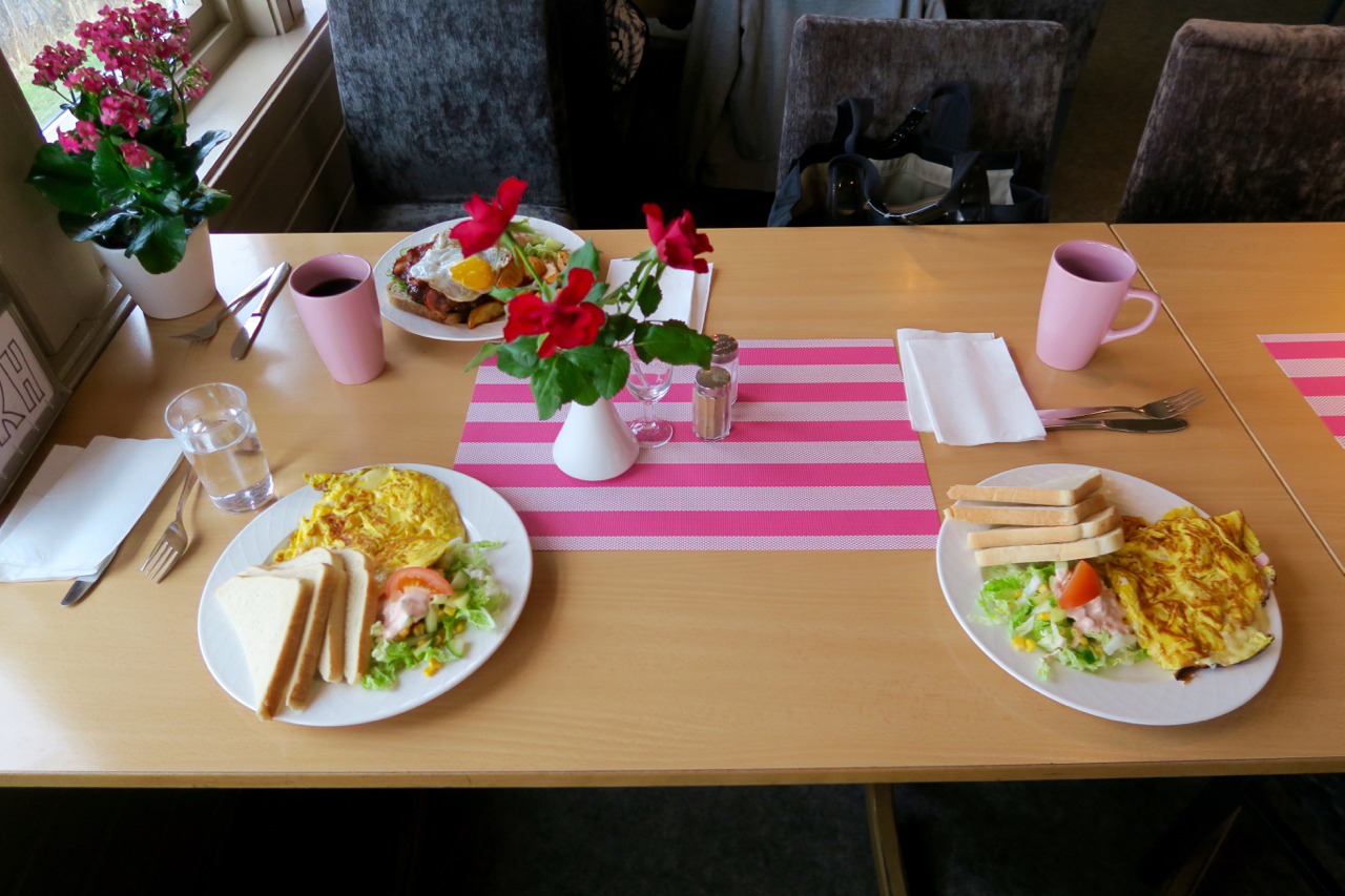
Breakfast was around 400 NOK for 3 people including coffee. That’s about 50 USD which sounds like a lot for breakfast, but pretty much everything has a higher price in Norway and this was reasonable at about 16 USD. My eggs were hot, good, everything was made to-order and there was no tipping either.
I was already in awe of the scenery and could have sat there longer looking at the view which included snowy-capped peaks in the distance, but the Lofoten Islands beckoned.
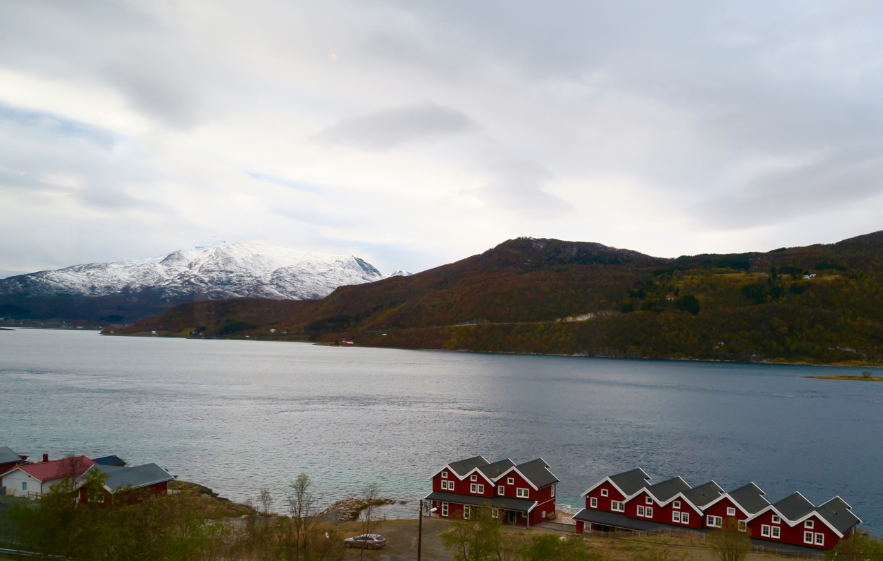
Starting out, we passed a former military installation and tiny towns dotted with colorful cabins and homes.
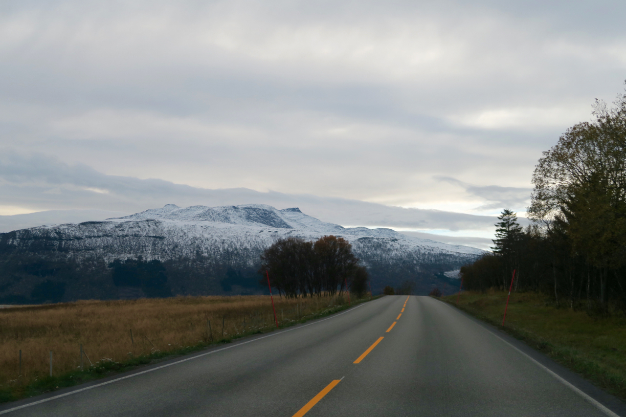
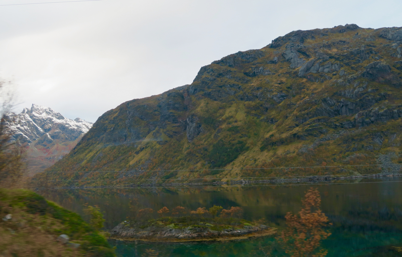
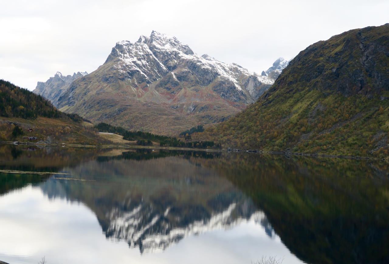
I pulled out my camera and started snapping away. Everywhere I looked seemed to have the perfect backdrop for a postcard. Brightly colored cottages? Check. Quiet little towns? Check. Mountains in the distance with waterways reflected below? Check.
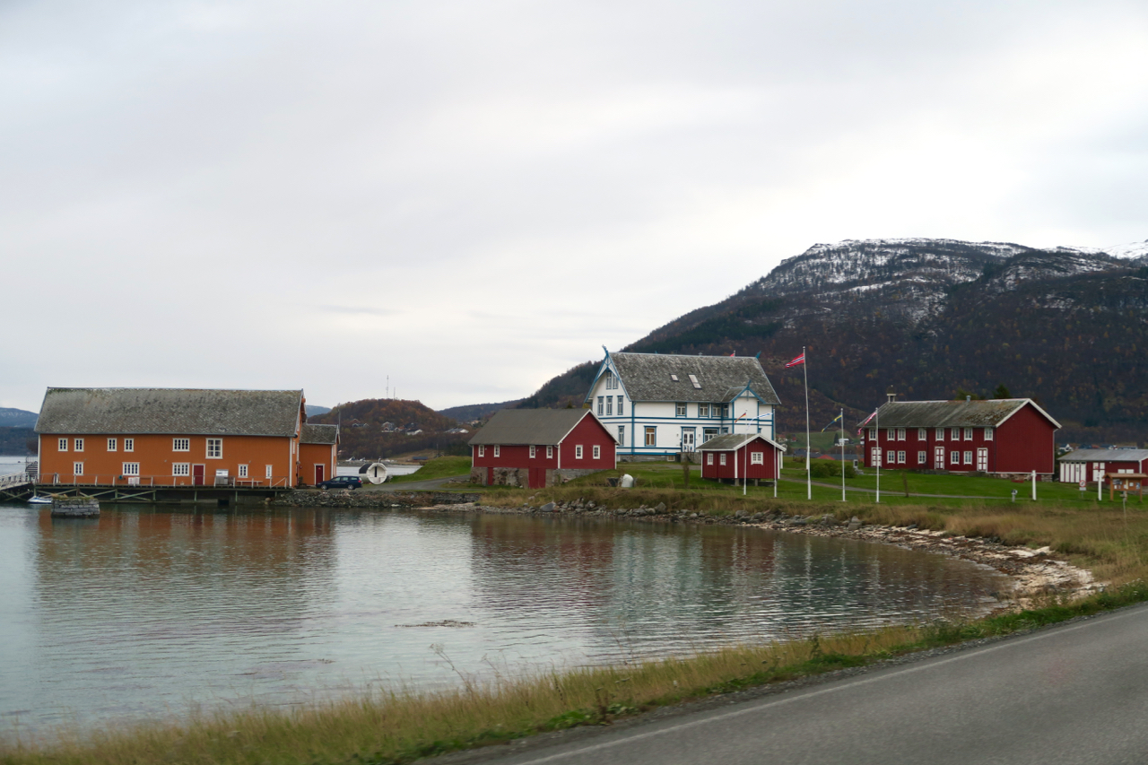
Father Time seems to slow his hands when you’re taking a road trip, and this one was no exception. Frosty snow clung to the mountains like powdered sugar on a doughnut, and the air was cool and a bit misty. The road was not busy, and even though we passed a car every now and then it was the exception so the landscape of natural beauty was ours to enjoy. The skies seemed a bit overcast at some points and the weather forecast included rain but there wasn’t any for the time being.
One mountain triggered memories from years ago, of myself watching a guy with poufy hair by the name of Bob Ross on TV, that painted pictures of mountains. I could have sworn this mountain was the inspiration for his, and if not would surely make a good framed photo for my own house.
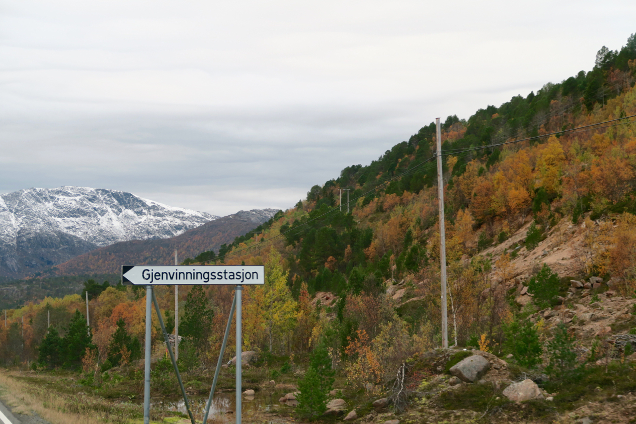
So caught up in the scenery I took pictures of fun-looking signs, only to hear a snicker after I did so with “Gjenvinningsstasjon” which I imagined to mean something like, “beautiful lake framed with cottages” but was told it actually meant recycling station in Norwegian.
Looking at the map it had appeared there were two ways to get to Lofoten, but it turns out there was an older roadway that had been replaced about 5 years ago with a new route. The older one was still accessible but you have to take a ferry so it is much slower and inconvenient.
I gazed out the window and saw a colorful building in the distance at the foot of a snow-dusted mountain. I thought it was perhaps a tourist information center or a museum of some sort, but it turned out to be just a building for roadway transportation maintenance. Even something as simple as a maintenance building looked charming.
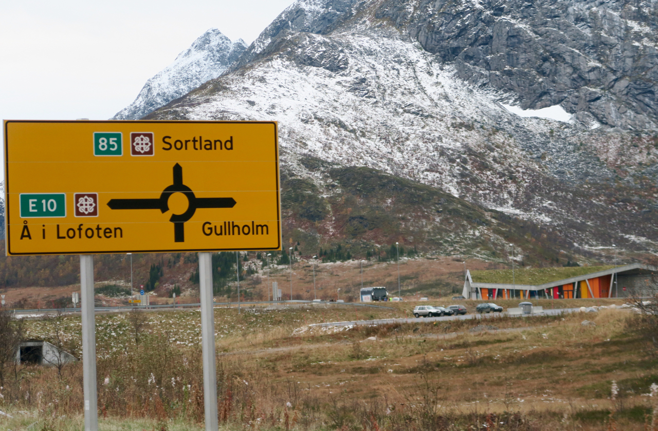
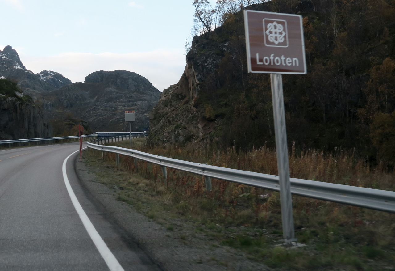
I was traveling with people who knew the way, but if I had been all by myself the signs for Lofoten were easy to follow since they had a special symbol next to them.
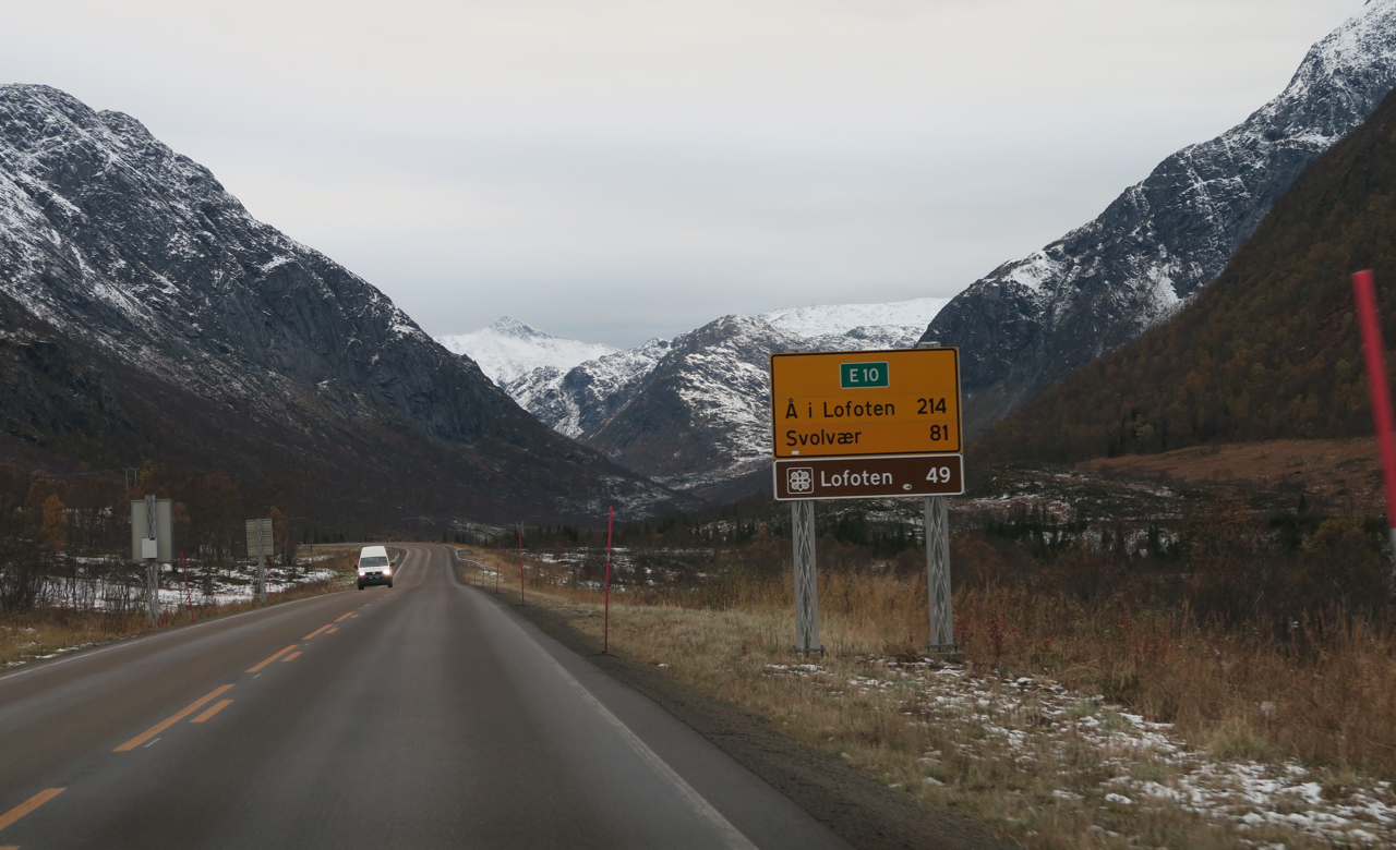
Every now and then the road took us through a tunnel that cut through the mountains. Most of them were fairly quick but one was 6.4 km or about 4 miles. The tunnel kept going on, and on, and on.
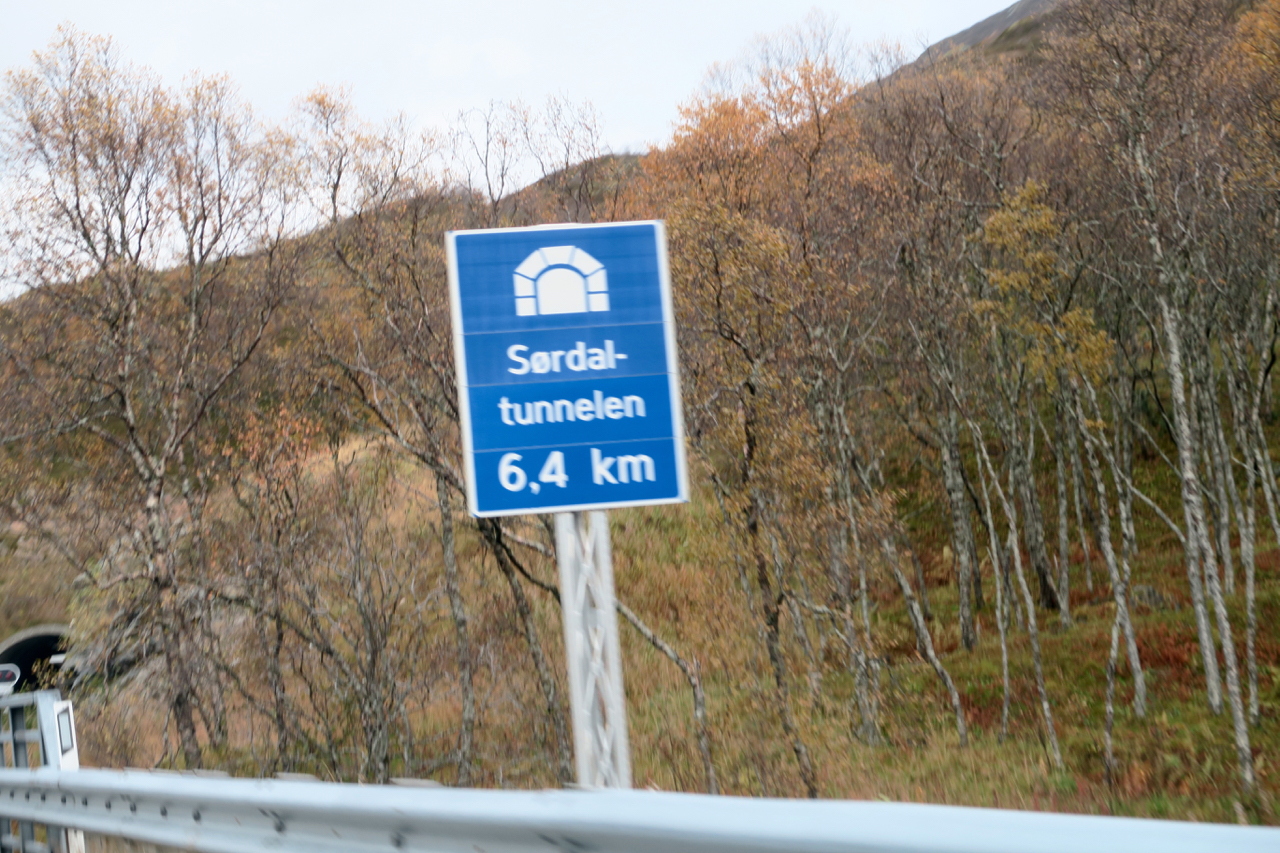
In fact, I think it was the longest tunnel I’d ever been through in a car.
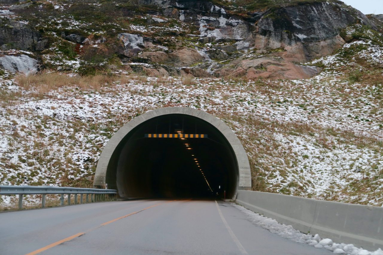
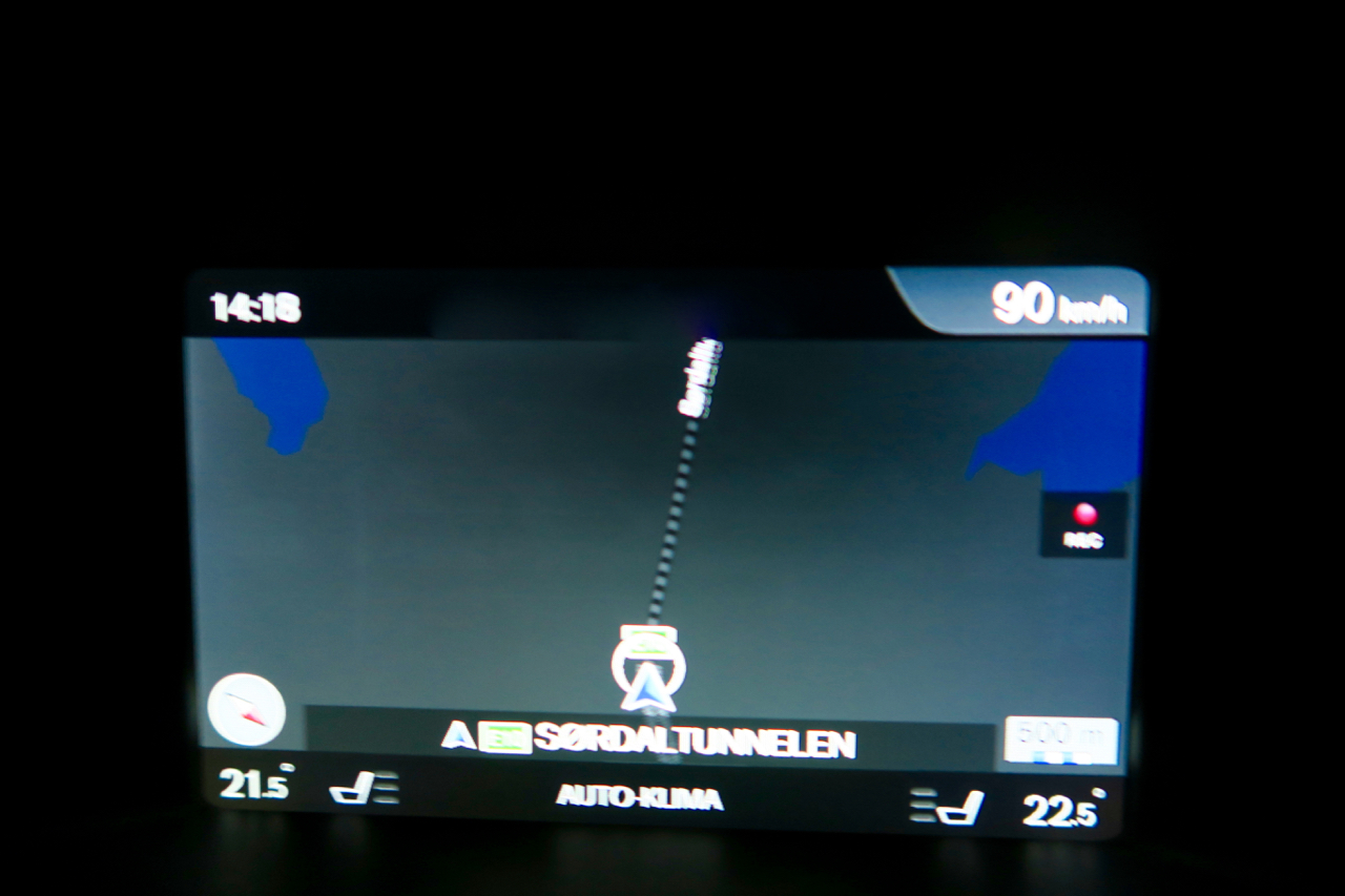
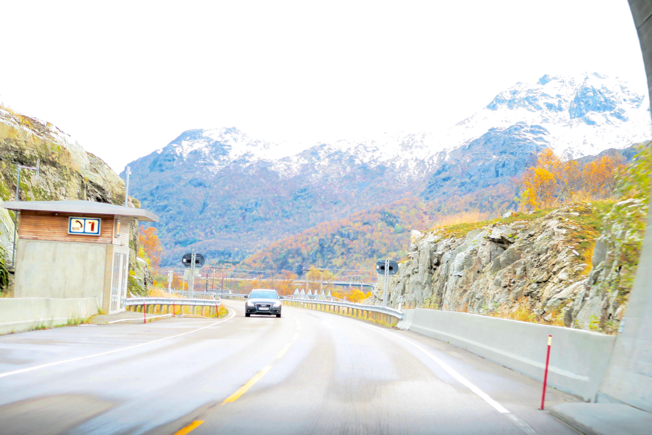
Coming out of such a long and dark tunnel everything seemed suddenly bright, and it took my eyes a minute to adjust.
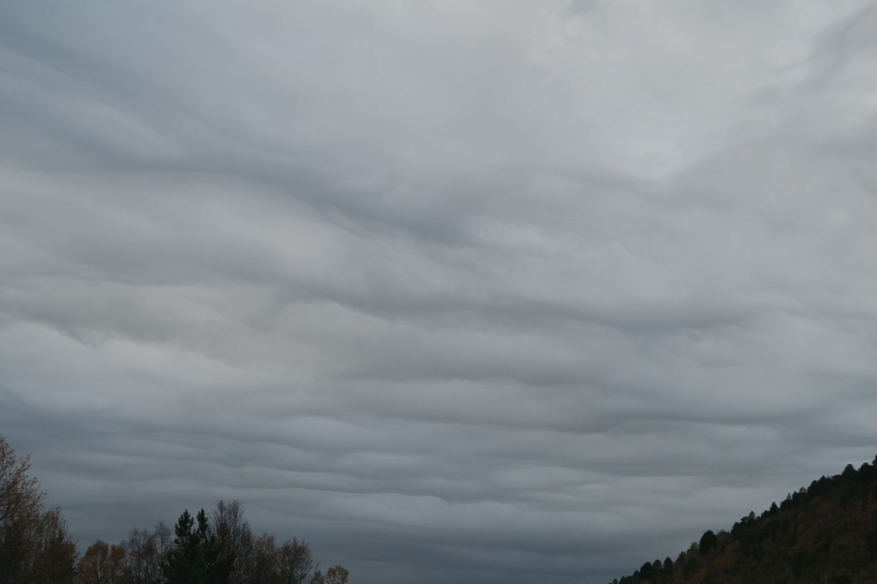
After they did, I realized the skies were looking darker and grayer than they had in the morning. The clouds overhead were no longer fluffy, but blanketed the sky as far as I could see and seemed to be closing in.
Thankfully, just after we came out of the tunnel we saw the sign for Lofoten.
Now all we needed to do was find a place to stay for the night and hopefully get there before the rains came.
Stay tuned for the next installment, on the way to Rorbu #15 in Lofoten.
